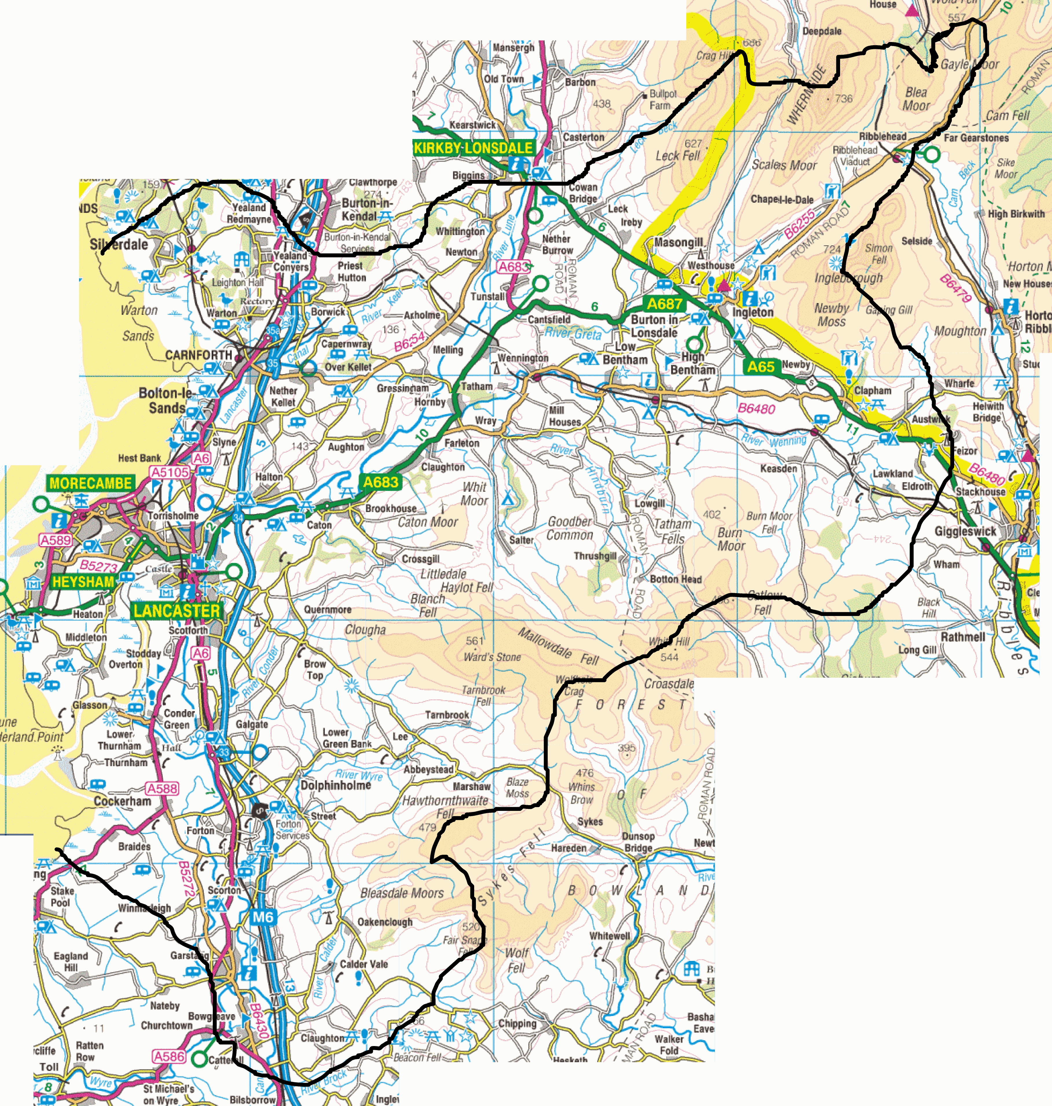
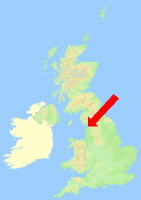
Map of the branch area
This map shows the area covered by this branch.The boundary of the Lunesdale branch is shown in black. The names of neighbouring branches also appear. Clicking on the name will link to their web sitePlace names illegible? Download a bigger map
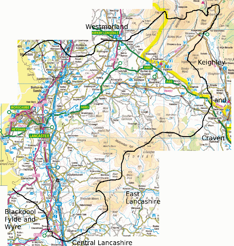
Images produced from the Ordnance Survey Get-a-map service. Images reproduced with kind permission of Ordnance Survey and Ordnance Survey of Northern Ireland.